Discover → Verify · pick a theme
Illustration. It shows what the Earthdata MCP lets an agent do, using public NASA catalog (CMR) metadata saved into this page. The page does not call the MCP server. Footprints are real granule extents from one day.
What it is
NASA’s Earth science catalog, as agent tools
The Earthdata MCP is NASA’s official hosted server for its Common Metadata Repository (CMR), the catalog behind Earthdata Search. An agent can turn a plain word into NASA’s controlled vocabulary, find the collections that match, and check that real files exist for a place and a day before anything is downloaded. The server’s own instructions call this Discover, then Verify, then Access.
Connect
One URL, no key
The endpoint is https://cmr.earthdata.nasa.gov/mcp/v1 over Streamable HTTP. The discovery tools work without an API key. In Cursor, add this to mcp.json:
{"mcpServers":{"earthdata-mcp":{"url":"https://cmr.earthdata.nasa.gov/mcp/v1"}}}
Source and docs: github.com/nasa/earthdata-mcp.
Try it
Three prompts
Catalog
Seven tools
Names as the server lists them. The three marked here are the ones the globe animates.
Behind the globe
The calls each theme stands for
These calls were run once against the hosted server when the page was built, and their results are what the step cards show. Granule searches cover 1 October 2026 (UTC).
Sources
Where the footprints come from
From this series
Richard's results
Coming soon.
Richard will add what he tries himself. Nothing here yet.
Share
Post image
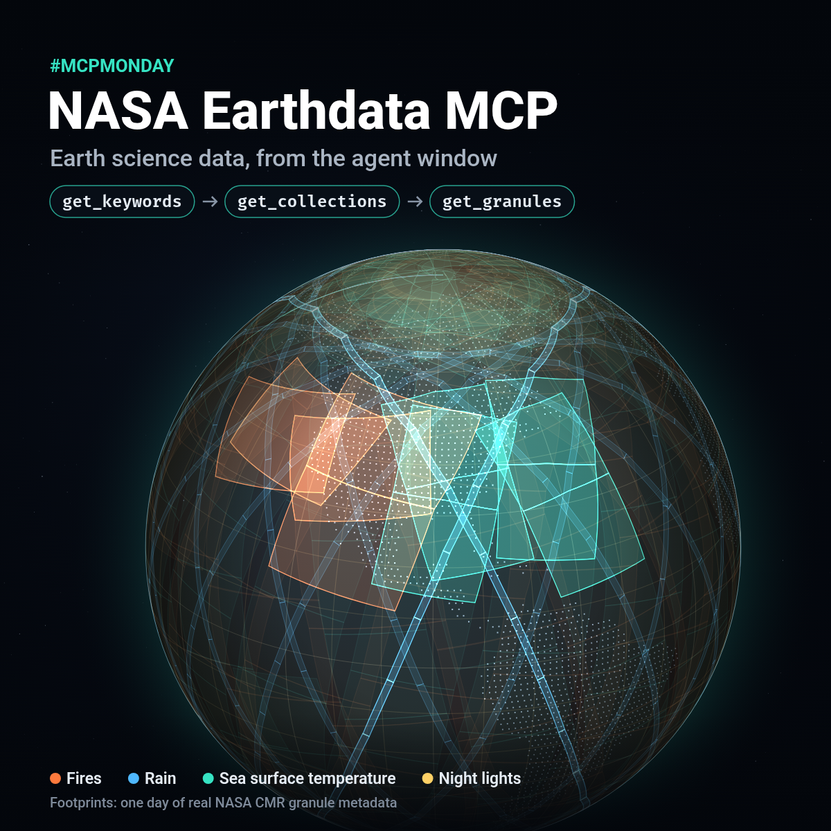
A 1200 × 1200 square for the LinkedIn post, drawn from the same footprints as the globe.
Download 1200 × 1200 PNG Redraw it in the browser